Starting time: 8:30
Ascent time: 7hrs
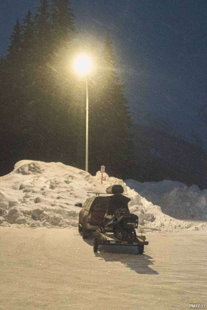
Finishing time:17:11
Distance: 9km
Starting Elevation: 1300m
Highest Elevation: 2430m
Cheops Mountain/Junction East is a long ski descent line on Southeast face of the mountain. You can find the information in Geobackcountry Rogers Pass book by Douglas Sproul. It is an essential item if you want to go to touring in Rogers Pass. Junction East route is on page 115.
The route on book is a travers, which starts from Rogers Pass center and ends at Loop Brook Parking. Our variation, however, comes back to Rogers pass center.
We came to the Parking at 8:00 and probably started skinning up by 8:30. It is a famous area. There were so many skiers/snowboarders by the time we got to the parking. Trail is easy to find. It starts at back of the parking: Balu pass trail.

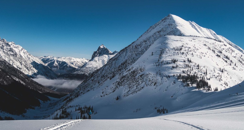
From Balu pass, we followed a skin track going to Cheops mountain. The entrance to Junction east is at the second shoulder from the peak on right side in the photo (above).
It took us about 3 hours to Balu pass. We had 2.3km and 400m elevation gain from there to the entrance.

final ascent to Balu pass 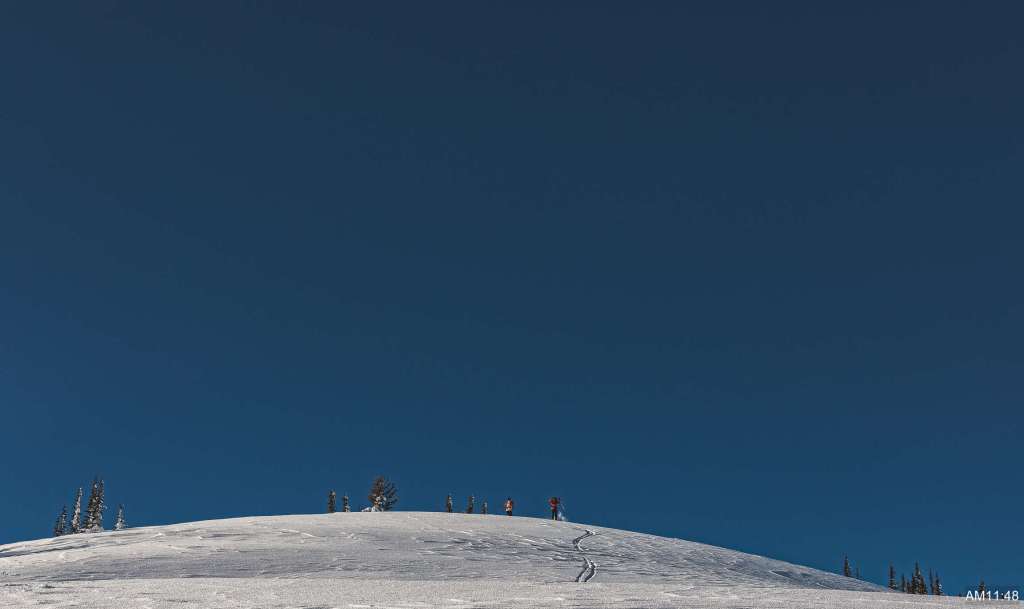
Balu Pass 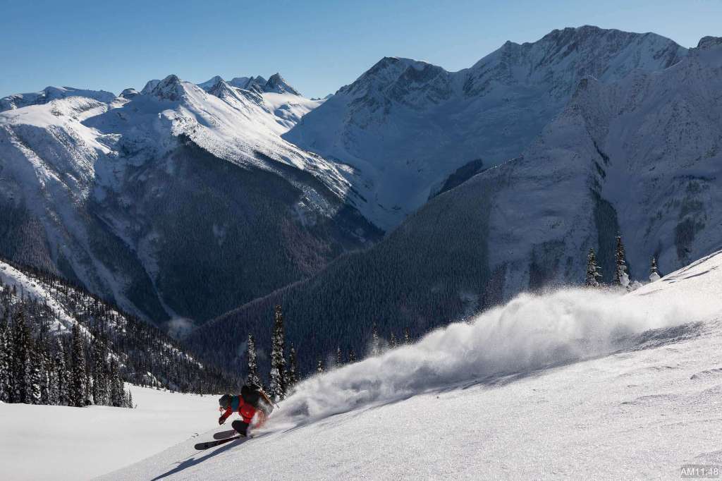
Noboru 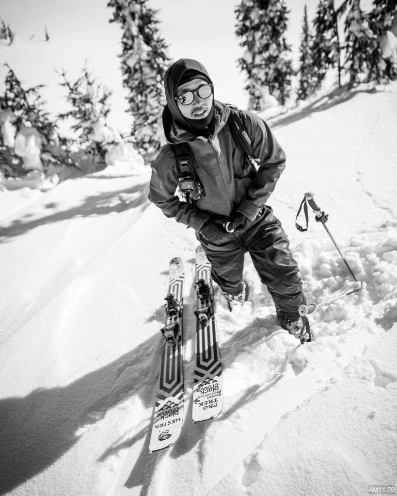
Shikaichi 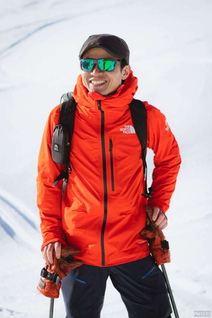
Noboru 
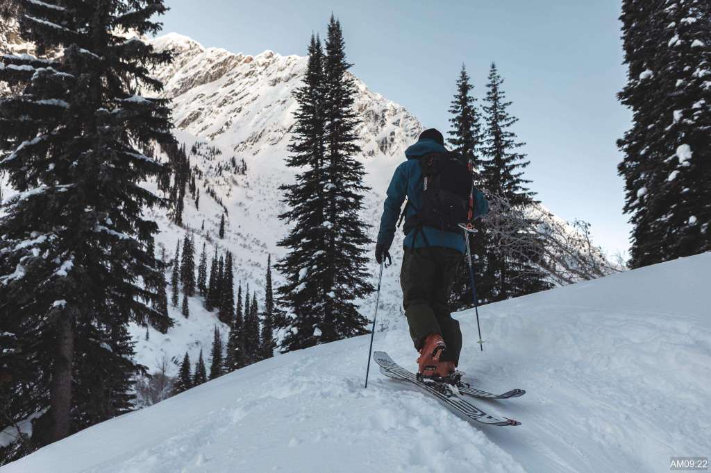
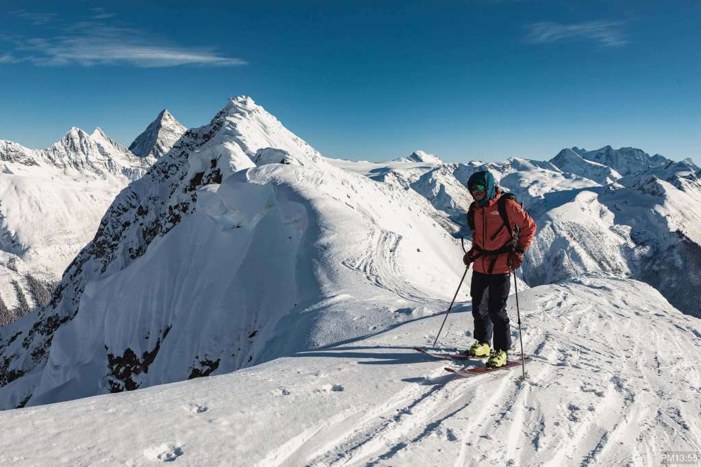
Going up on Cheops mountain 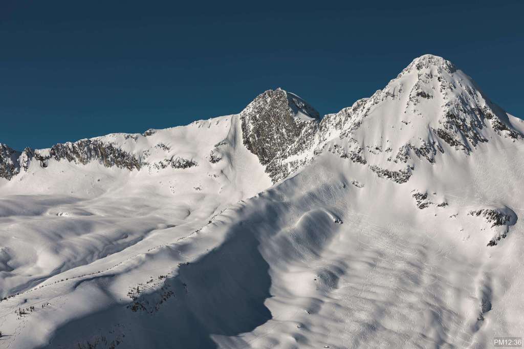
Peak 8812 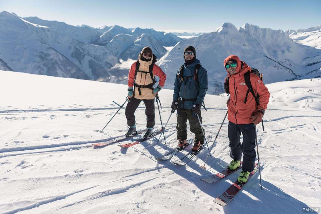
Izumi, Shikaichi, Noboru 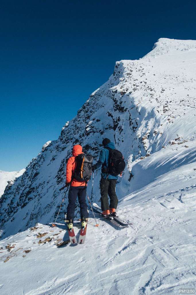
Looking into STS 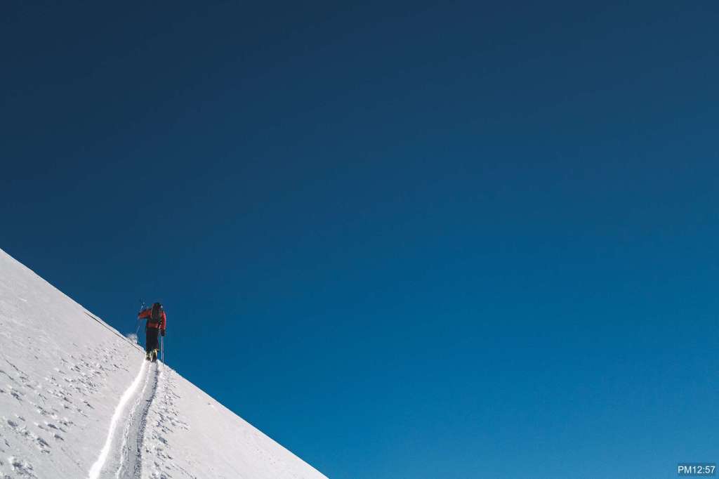
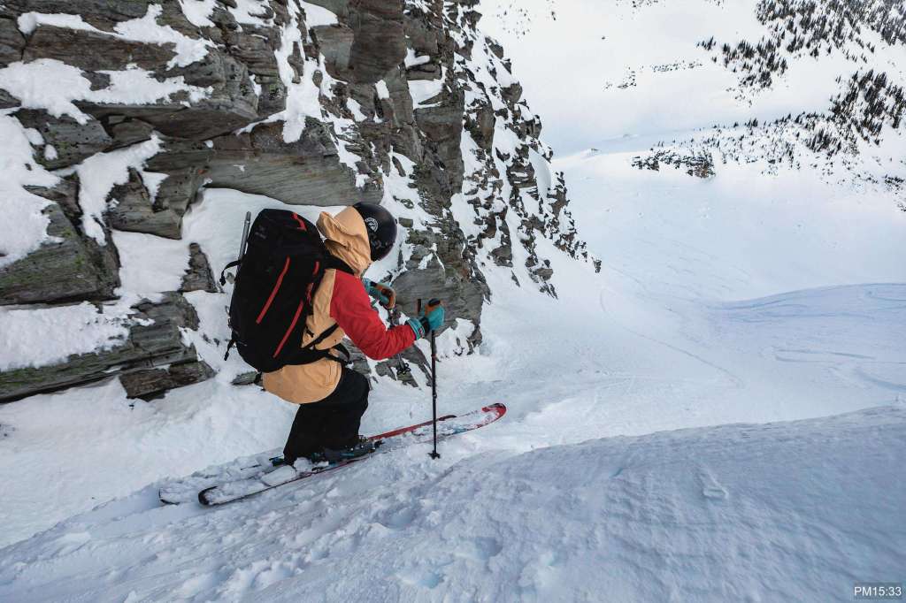
Shikaichi on Southwest face
We had a couple of photo shoots along the way. Southwest face of Cheops is a good additional skiing on this tour route.
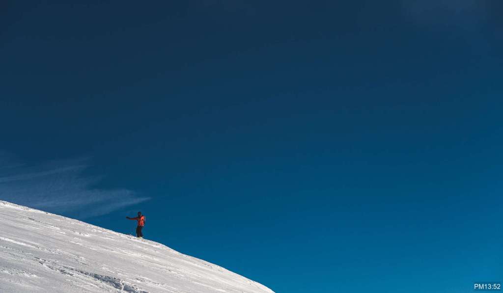
Noboru dancing with nice contrast 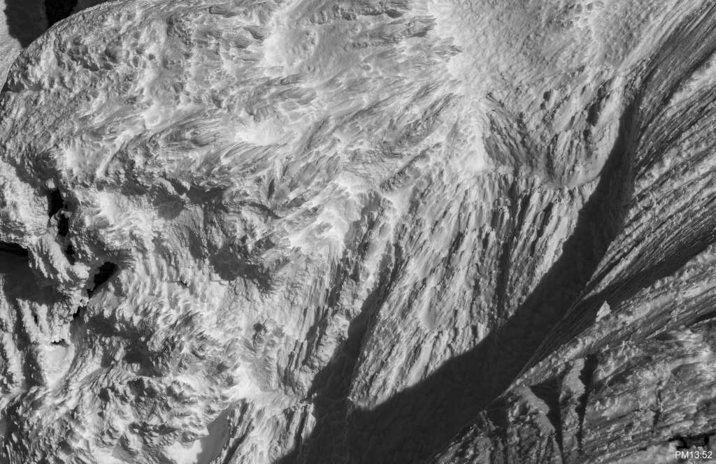
Ridge top to Cheops peak 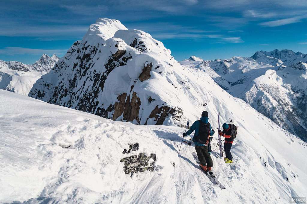
walking with crampons on 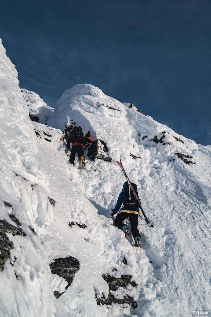
some rocky section 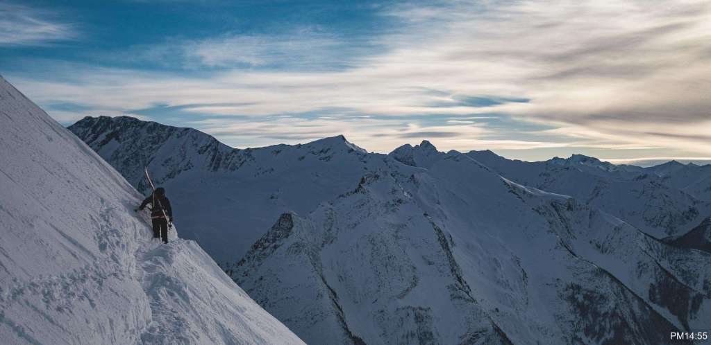
looking south from Cheops west ridge
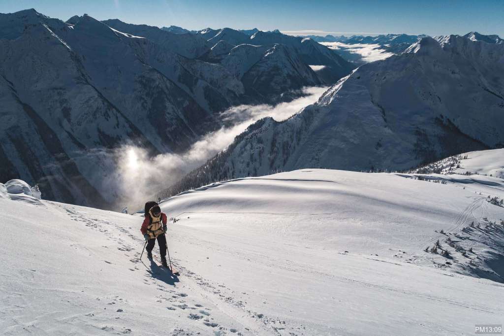
We got to the Junction east entrance around 15:30. Snow was really deep. It seemed that this slope was protected from the sun and wind.

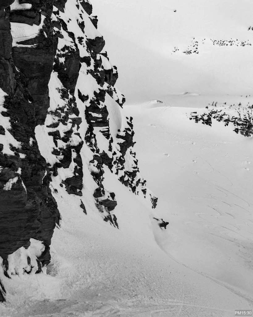
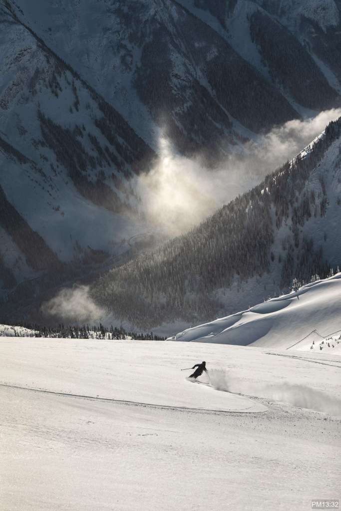
We traversed left after this top section instead of going right. Junction East route goes right into a gully. However, we skinned up onto Napoleon Spur around 2300m elevation and skied down the east face to the bottom.
We pushed/skated back to the parking after skied down to the highway. It is a 1.3km flat walk, which is probably easier with skins on.
